
Louisville, Kentucky is one of the largest cities in the United States without a rail-based transit system. To help get my hometown thinking about the possibilities, I wanted to develop a route and system map for a hypothetical light rail transit system that would suit the city's needs and while remaining economically feasible.

The route chosen is based on the previous proposal from the early 2000s, modified to suit the needs of modern Louisville. Two routes--a downtown streetcar and a commuter line--would connect to form a system that links a tremendous number of important Louisville landmarks, employment centers, education campuses, transit hubs and entertainment venues.

While not critical, the Blue Line would act as a downtown streetcar, connecting vibrant residential neighborhoods with large employment centers and entertainment venues of downtown Louisville. This line also has the capacity to be easily expanded to the east in the median of Interstate 64.
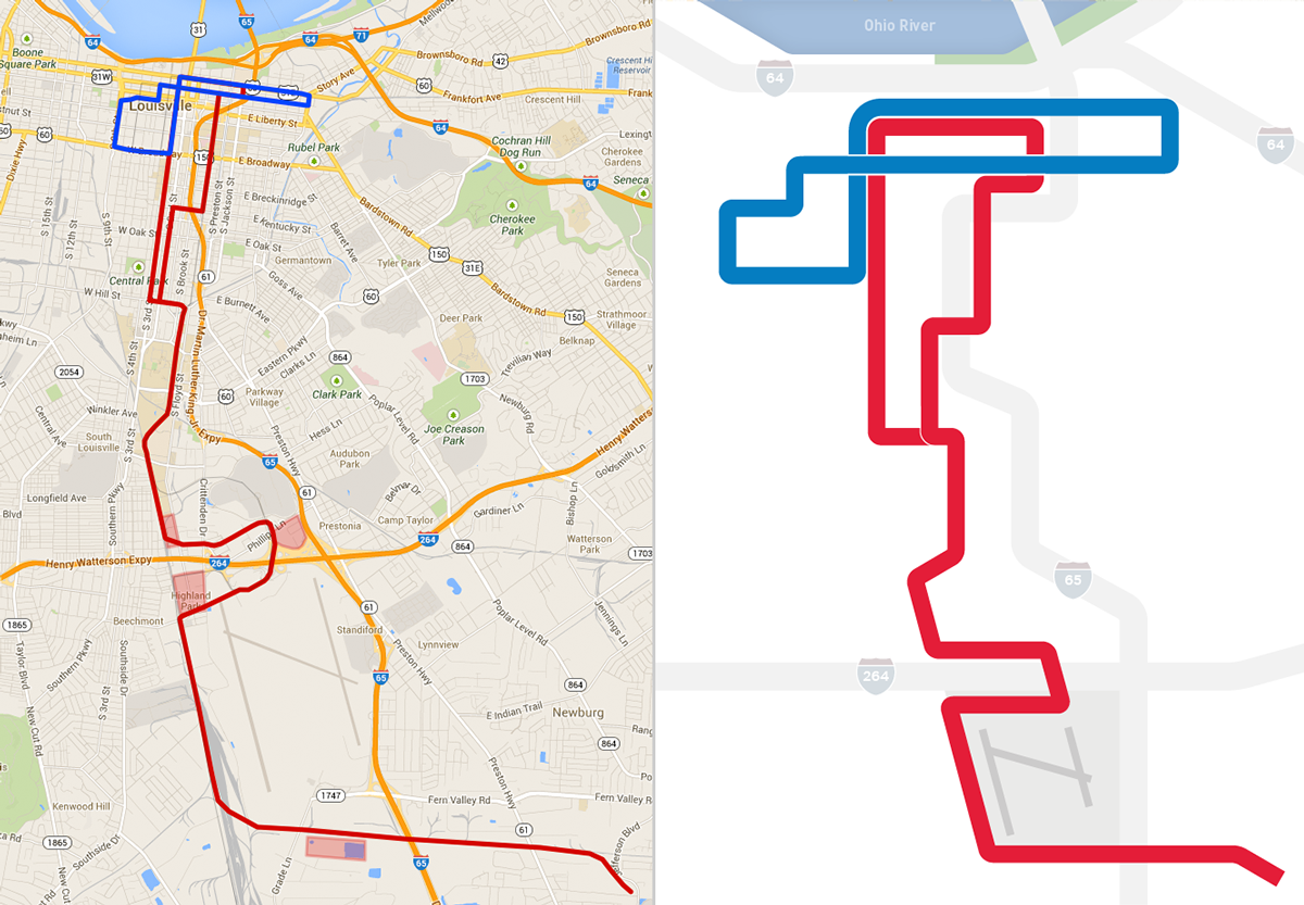
The system's alignment was developed with the intent of minimizing costs wherever possible. In the downtown core area, vehicles would run with traffic. From the University south, railroad rights-of-way are utilized for the majority of the route. Minimal tunneling and elevated sections would be necessary, only for accessing the Louisville International Airport terminal.

